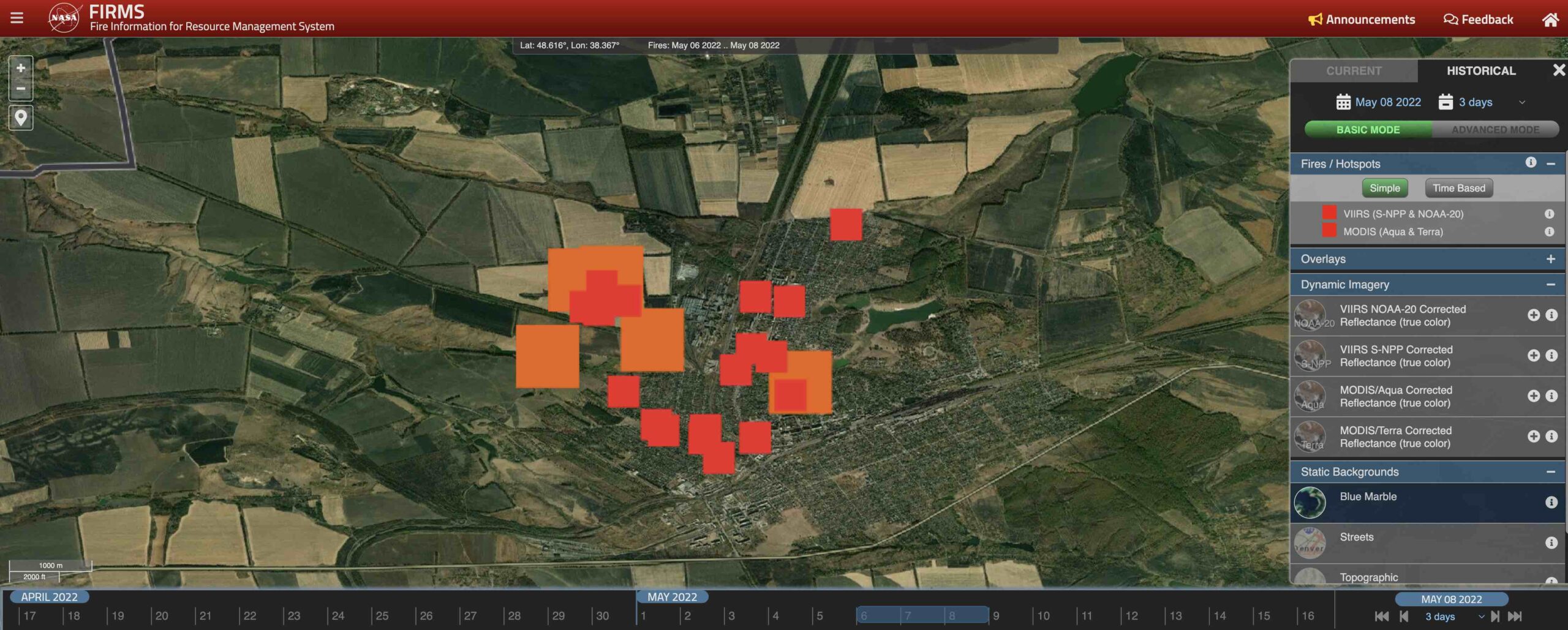
In this blog entry, I’d like to talk about the often-overlooked FIRMS as an OSINT tool for monitoring active warzones. Created by NASA, the Fire Information Resource Management System (FIRMS) is definitely not getting the popularity it deserves – this is our attempt to spread some awareness. Using satellites to detect and display heat flashes […]
Posts Tagged
‘Geospatial’
0
0
https://knowmad-osint.com/tag/geospatial/page/2/
https://knowmad-osint.com/tag/geospatial/


Recent Comments