OSINT Toolkit
+ KNOWMAD OSINT TOOLKIT+ PUBLICLY AVAILABLE INFORMATION ONLY+ OPEN SOURCE INTELLIGENCE+ WASHINGTON D.C.+ KNOWMAD OSINT TOOLKIT+ PUBLICLY AVAILABLE INFORMATION ONLY+ OPEN SOURCE INTELLIGENCE+ WASHINGTON D.C.+ KNOWMAD OSINT TOOLKIT+ PUBLICLY AVAILABLE INFORMATION ONLY
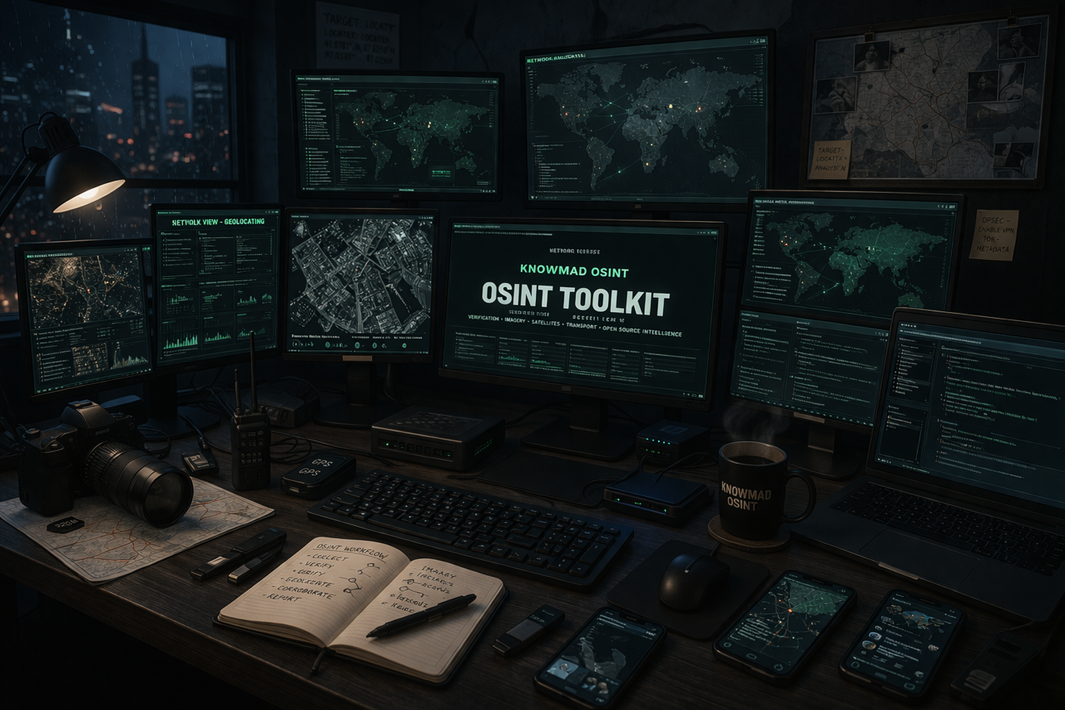
Knowmad OSINT — Curated Toolkit · 2026
OSINT Tools
& Techniques
& Techniques
A curated repository of open-source intelligence tools, assembled from years of operational work across war crimes investigations, geopolitical analysis, corporate intelligence, and investigative journalism. All tools use only Publicly Available Information (PAI).
No tools match your search.
VerificationVisual Verification, Geolocation & Chronolocation8 tools
Grid-based geolocation assistant for systematically matching image cues against satellite imagery to pinpoint a location.
Query engine for OpenStreetMap data — search for specific infrastructure, buildings, or landmarks to narrow down geolocation candidates.
The baseline reverse image search for finding original sources, misattributed images, and earlier appearances of any photo.
Multi-engine reverse image search querying Google, Bing, Yandex, and TinEye simultaneously in one interface.
Browser plugin that extracts keyframes from videos for reverse searching, retrieves metadata, and checks for manipulation — essential for conflict video authentication.
Reverse image search focused on exact match detection and first-seen date tracking — useful for identifying recycled imagery passed off as new.
Calculates sun position, shadow direction, and solar azimuth for any location and date/time — the fundamental tool for chronolocation of images and video.
Consistently outperforms Google for Eastern European and CIS-region imagery — indispensable for conflict zone verification and Russia/Ukraine investigations.
ImageryImagery Exploitation5 tools
Extracts and maps EXIF GPS metadata from uploaded images, instantly revealing where a photo was taken when location data was not stripped.
Browser-based EXIF and metadata extractor for images, documents, and video — no installation required.
The industry-standard command-line metadata extraction tool for forensic-grade analysis across images, video, PDF, and Office documents.
Error Level Analysis tool that visualises compression artefacts to highlight areas that have been digitally manipulated after initial JPEG compression.
Facial recognition reverse search engine for finding a face's appearances across the open web — useful for identity verification in conflict imagery.
SatelliteSatellite Imagery & Geospatial Resources9 tools
Historical satellite imagery browser with timeline slider, 3D terrain, and measurement tools — the primary platform for geolocation verification and change detection.
Current satellite and Street View imagery with distance measurement tools — use Street View for ground-truth verification of structures and terrain.
Often provides higher-resolution or more current imagery than Google in specific regions, with a Bird's Eye oblique view that reveals structural details invisible from overhead.
ESA Copernicus Sentinel multispectral data with near-daily revisit — used for monitoring conflict burn scars, environmental damage, and industrial activity.
EU Copernicus Data Space with Sentinel-1 SAR imagery — penetrates cloud cover to enable all-weather, day-and-night monitoring.
Crowdsourced street-level imagery from around the world — often more current and geographically diverse than Google Street View.
3D mountain and terrain identification tool for matching peaks and ridgelines in imagery to pinpoint exact location — powerful for conflict zones in mountainous terrain.
Near real-time fire and thermal anomaly data from MODIS and VIIRS satellites — used to track shelling burn signatures, industrial fires, and refinery strikes.
Commercial satellite imagery provider releasing high-resolution data for humanitarian, research, and journalism use — a strong complement to Sentinel for crisis monitoring.
TransportTransportation Trackers7 tools
The primary open-source maritime vessel tracker with real-time and historical AIS data — essential for sanctions evasion monitoring and shadow fleet tracking.
Alternative AIS vessel tracker — cross-reference against MarineTraffic to identify AIS spoofing and dark shipping patterns.
Complementary vessel tracker with strong port call histories — triangulate with MarineTraffic and VesselFinder for comprehensive route reconstruction.
Real-time and historical ADS-B flight tracking for civilian, private, and government aircraft — used to track ISR aircraft, VIP movements, and military-adjacent aviation.
Unfiltered ADS-B tracker that does not honour suppression requests — the definitive resource for tracking sensitive military and government aircraft.
Aviation tracking with deep historical playback for reconstructing complete flight paths and correlating aircraft positions with ground events.
Satellite orbital data and real-time tracking — identify which imagery satellites are overhead at a given location and time to assess collection windows.
Open ChatterOpen Chatter3 tools
Comprehensive database of radio frequencies, trunked systems, and live scanner feeds for identifying communication infrastructure and monitoring public emergency radio traffic.
Browser-based access to Software Defined Radio receivers worldwide — listen to HF, VHF, and UHF frequencies globally without any hardware.
Telegram channel statistics, search, and analytics — critical for monitoring Russian-language information operations, conflict reporting, and channel networks.
CorporateCorporate, Financial & Open Databases9 tools
The world's largest open company database with 200M+ entities from 130+ jurisdictions — the starting point for any corporate ownership investigation.
Aggregated sanctions and Politically Exposed Persons database consolidating OFAC, EU, UN, and 100+ national lists into a single searchable resource.
U.S. Treasury's Specially Designated Nationals list — check individuals, companies, and vessels against active US sanctions.
UK company registry with full beneficial ownership disclosure and free filing access — one of the most transparent corporate registries globally.
Domain registration lookup for identifying registrar, registration date, and name server data — useful for mapping influence operation infrastructure.
Searchable database from Panama Papers, Pandora Papers, Paradise Papers, and FinCEN Files — search individuals and companies across leaked offshore financial records from 80+ countries.
OCCRP's investigative data platform aggregating company registries, court records, sanctions lists, and leaked datasets from 200+ sources.
The Global Investigative Journalism Network's curated and regularly updated directory of data journalism and OSINT tools used by practitioners worldwide.
Global map of beneficial ownership transparency — links to national registries and indicates which countries publish open beneficial ownership data, useful for corporate investigation scoping.
Data VizData Visualisation & Analysis4 tools
Open-source network analysis and visualisation platform for building interactive node-edge graphs — used in Knowmad for corporate ownership mapping and influence network analysis.
Social network analysis plugin for Microsoft Excel — maps Twitter/X and platform networks to visualise influence patterns and coordination behaviour.
No-code platform for publication-ready charts, maps, and network diagrams — used by newsrooms and Knowmad to produce interactive intelligence visualisations.
Web-based interactive timeline builder for producing shareable event chronologies in intelligence products and investigative reporting.
OPSECOperational Security & Digital Safety3 tools
Privacy-first VPN from the makers of ProtonMail — open-source, no-logs, and trusted by journalists and researchers for secure, anonymous collection operations.
End-to-end encrypted messaging — the industry standard for secure communications with sources, colleagues, and editorial teams during sensitive investigations.
Strips metadata from documents, images, and files before sharing — prevents inadvertent exposure of author identity and location data embedded in file metadata.
Want structured OSINT training?
This toolkit is a companion to the Knowmad OSINT Instructor-Guided Self-Paced Program (IGSP) and bespoke trainings — instructor-guided, with 1:1 coaching, tutorials, no "AI slop," real assignments and tailored feedback, and a certificate upon completion. Trusted by 500+ career starters and professionals.
Third-Party Tools — Disclaimer
All tools and resources listed on this page are third-party products and services operated independently of Knowmad OSINT LLC. Links are provided for informational and educational purposes only. Knowmad OSINT does not endorse, control, maintain, or take responsibility for the accuracy, availability, security, privacy practices, or continued operation of any third-party tool listed here. Use of any external tool is at your own discretion and risk. Knowmad OSINT accepts no liability for any harm, data loss, security incident, or other consequence arising from the use of tools or resources linked from this page. Tool availability and functionality may change without notice.