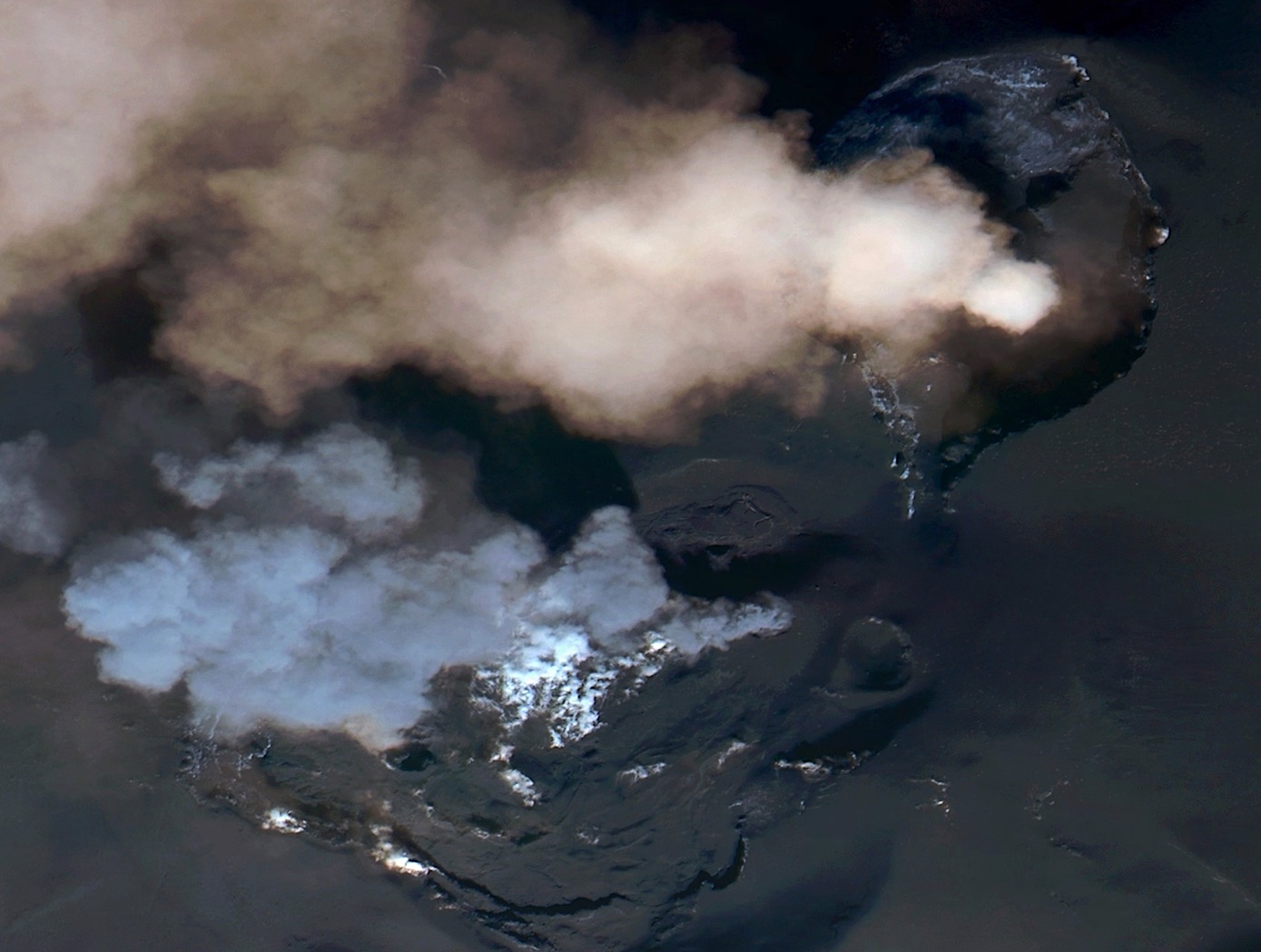
This post has been updated with a timelapse and high-resolution imagery of Etna Dramatic but harmless (for now), Etna’s eruption makes an excellent case study for environmental security – a lesser-known application for Open-Source Intelligence (OSINT). Mount Etna, Europe’s tallest active volcano, erupted on Tuesday, February 16th. Towering 3,350 meters over Catania on Sicily’s eastern […]
Posts Tagged
‘geospatial intelligence’
0
0
https://knowmad-osint.com/tag/geospatial-intelligence/page/2/
https://knowmad-osint.com/tag/geospatial-intelligence/


Recent Comments