This blog post was based on research and analysis conducted as part of the final assignment for the bespoke Knowmad OSINT training for the International Masters in Security, Intelligence, and Strategic Studies (IMSISS) offered by the University of Glasgow, Dublin City University, Charles University, and Trento University. Over the past two years, Haiti has experienced […]
Posts Tagged
‘satellite imagery’
Are you into Open Source Intelligence (OSINT)? Have you ever found yourself eager to obtain satellite imagery of a specific area, only to hit a wall of clouds? As an OSINT analyst with extensive experience in open-source geospatial intelligence (GEOINT) resources, I’ve encountered this situation more times than I can count. Having worked on projects […]
Over 150,000 Russian forces have encircled Ukraine in the past months. Thanks to Open-Source Intelligence (OSINT), the world is watching. Everything we know about the units and hardware positioned along Russia’s and Belarus’ frontier with Ukraine is due to satellite imagery, social media, flight and vessel trackers, railcar registries, and other open-source resources. If, and […]
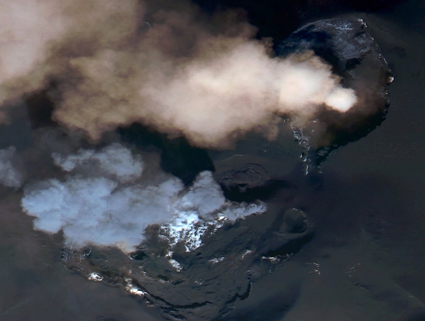
This post has been updated with a timelapse and high-resolution imagery of Etna Dramatic but harmless (for now), Etna’s eruption makes an excellent case study for environmental security – a lesser-known application for Open-Source Intelligence (OSINT). Mount Etna, Europe’s tallest active volcano, erupted on Tuesday, February 16th. Towering 3,350 meters over Catania on Sicily’s eastern […]


Recent Comments