As many of you may have seen or heard, the Mexican city of Culiácan erupted into a full-blown war on January 5, 2023. The reason? A Mexican military snatch-and-grab operation with Ovidio Guzmán López, aka “El Raton,” in the starring role, again. Ovidio inherited a significant portion of the Sinaloa cartel after his father, Joaquín […]
Blog
Periodical notes from the instructor: quick tips, guides, and some real world demonstrations of the power of OSINT
Jingle bells. Frosty the Snowman. Baked cookies. The festive season is arguably the best time of the year, especially for kids! So that’s why I’ll highlight Santa Tracker for this blog entry. Santa Tracker is exactly what it sounds like: a live tracker of Santa’s position while conducting his global present-delivery operations. It can be […]
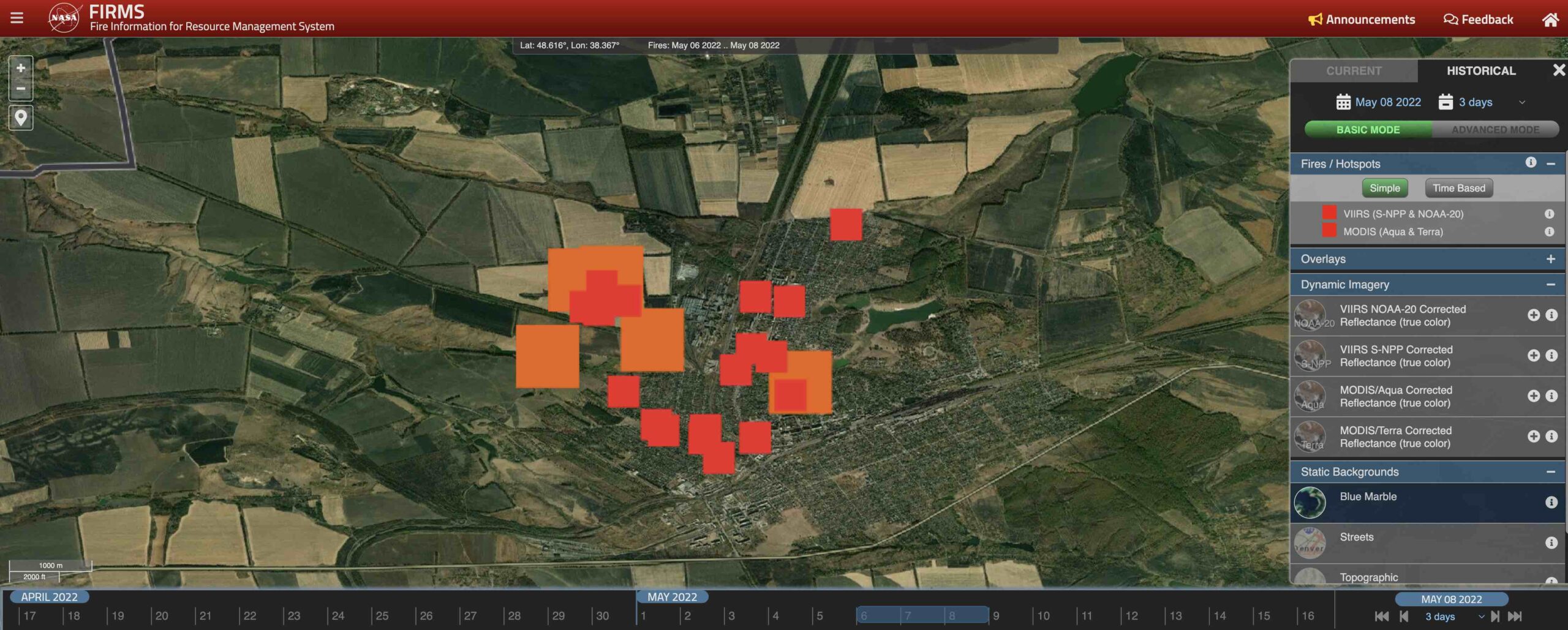
In this blog entry, I’d like to talk about the often-overlooked FIRMS as an OSINT tool for monitoring active warzones. Created by NASA, the Fire Information Resource Management System (FIRMS) is definitely not getting the popularity it deserves – this is our attempt to spread some awareness. Using satellites to detect and display heat flashes […]
Russia’s missile strike on Retroville Mall might have been triggered by a video shared online by a random guy from Kyiv, a Ukrainian military investigation found. The image shared on social media might have revealed the presence of Ukrainian military vehicles at the Mall. The Russian MoD posted a video showing that Ukraine was storing […]
Over 150,000 Russian forces have encircled Ukraine in the past months. Thanks to Open-Source Intelligence (OSINT), the world is watching. Everything we know about the units and hardware positioned along Russia’s and Belarus’ frontier with Ukraine is due to satellite imagery, social media, flight and vessel trackers, railcar registries, and other open-source resources. If, and […]
This post has been updated with a timelapse and high-resolution imagery of Etna Dramatic but harmless (for now), Etna’s eruption makes an excellent case study for environmental security – a lesser-known application for Open-Source Intelligence (OSINT). Mount Etna, Europe’s tallest active volcano, erupted on Tuesday, February 16th. Towering 3,350 meters over Catania on Sicily’s eastern […]
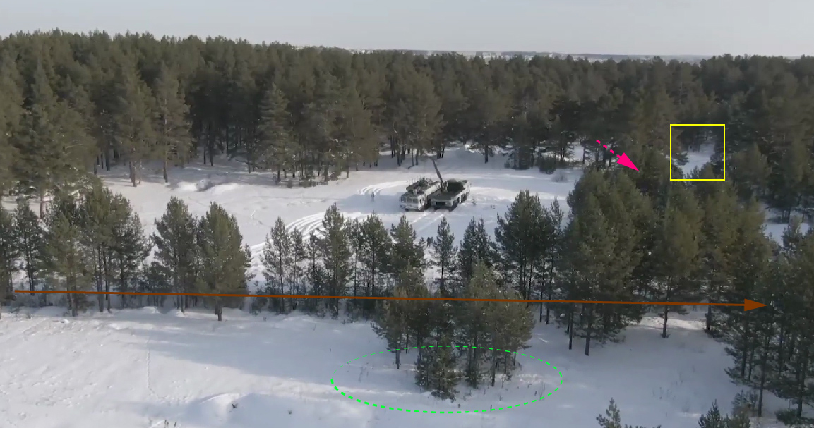
Who doesn’t like a quick and sweet geolocation challenge? Part of my work on T-Intelligence involves monitoring “adversarial activities,” which includes keeping tabs on military hardware deployments of hostile foreign governments such as the Russian Federation. I am especially interested in what is commonly known as anti-access area denial (A2/AD) equipment. THE VIDEO On […]
On Monday, a video went viral that shows a personal trainer doing her aerobics routine against the backdrop of a military coup in Myanmar. Not even the wave of armoured personnel carriers and police vehicles could interrupt her catchy workout beat (the new 2021 anthem?). The surreal scene made waves on social media where users […]


0